
 EN
EN
 ar
ar bg
bg hr
hr cs
cs da
da nl
nl fi
fi fr
fr de
de el
el hi
hi it
it ko
ko no
no pl
pl pt
pt ro
ro ru
ru es
es sv
sv tl
tl iw
iw id
id lv
lv lt
lt sr
sr sk
sk sl
sl uk
uk vi
vi et
et hu
hu th
th tr
tr fa
fa ms
ms hy
hy ka
ka ur
ur bn
bn mn
mn ta
ta kk
kk uz
uz ku
ku
Inclinometer
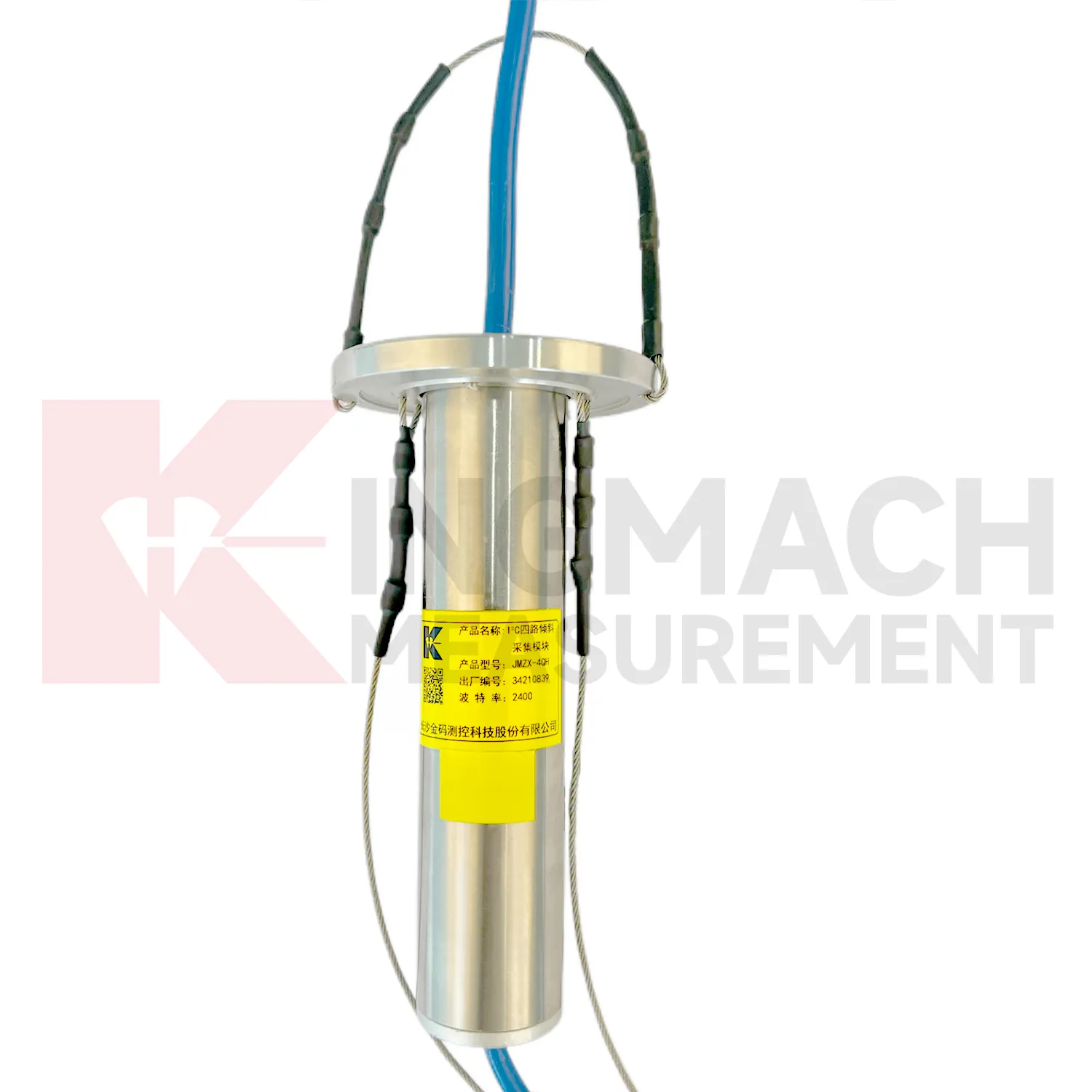
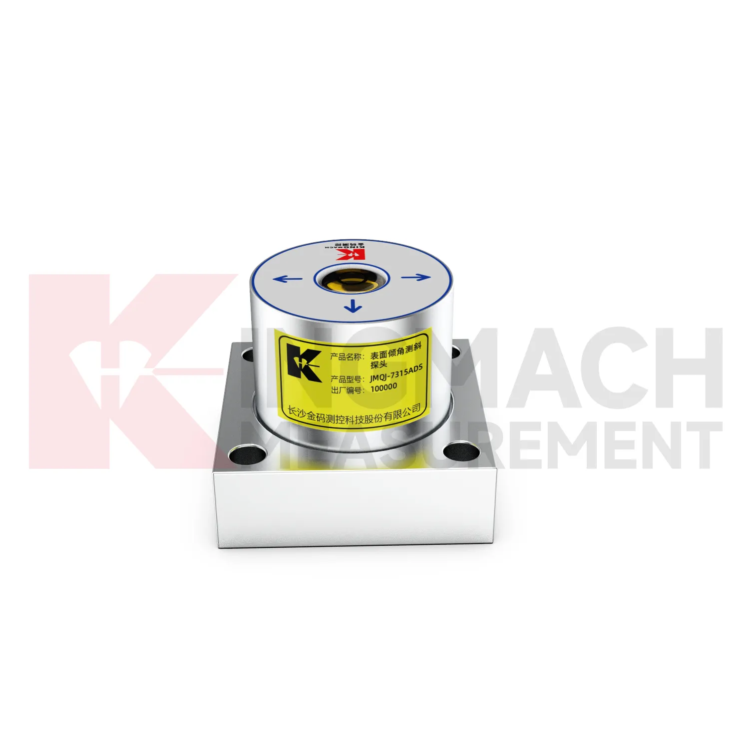
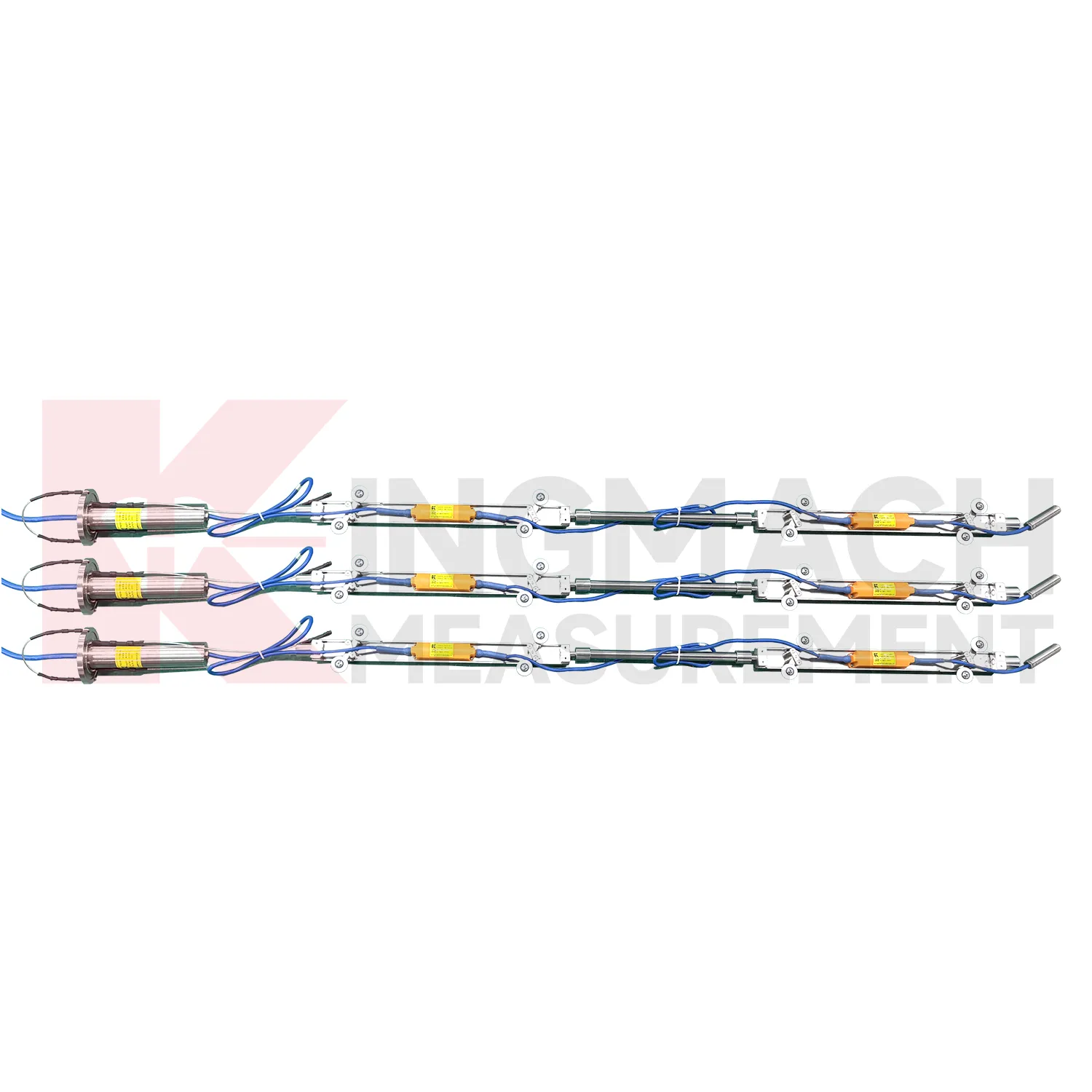
The delivery and installation form of Kingmach Inclinometer depends heavily on the product type. JMQJ-7315ADS and JMQJ-7315RTU are fixed sensors mounted to a structural surface or instrument base. JMQJ-7915ATS can be pre-assembled at the factory with bodies, cables, universal joints, extension rods, suspension, and acquisition unit according to designed measurement point spacing. JMZX-7100L is a sliding probe system used with inclinometer casing for field readings. JMZX-4QH is placed near the inclinometer tube orifice for protected acquisition. These physical differences affect packaging, installation labor, drawings, acceptance checks, and future maintenance. A clear acceptance file should include model, serial number, point location, borehole depth, axis direction, communication setting, first stable reading, and photographs before the area is closed or returned to service.
Application of Inclinometer
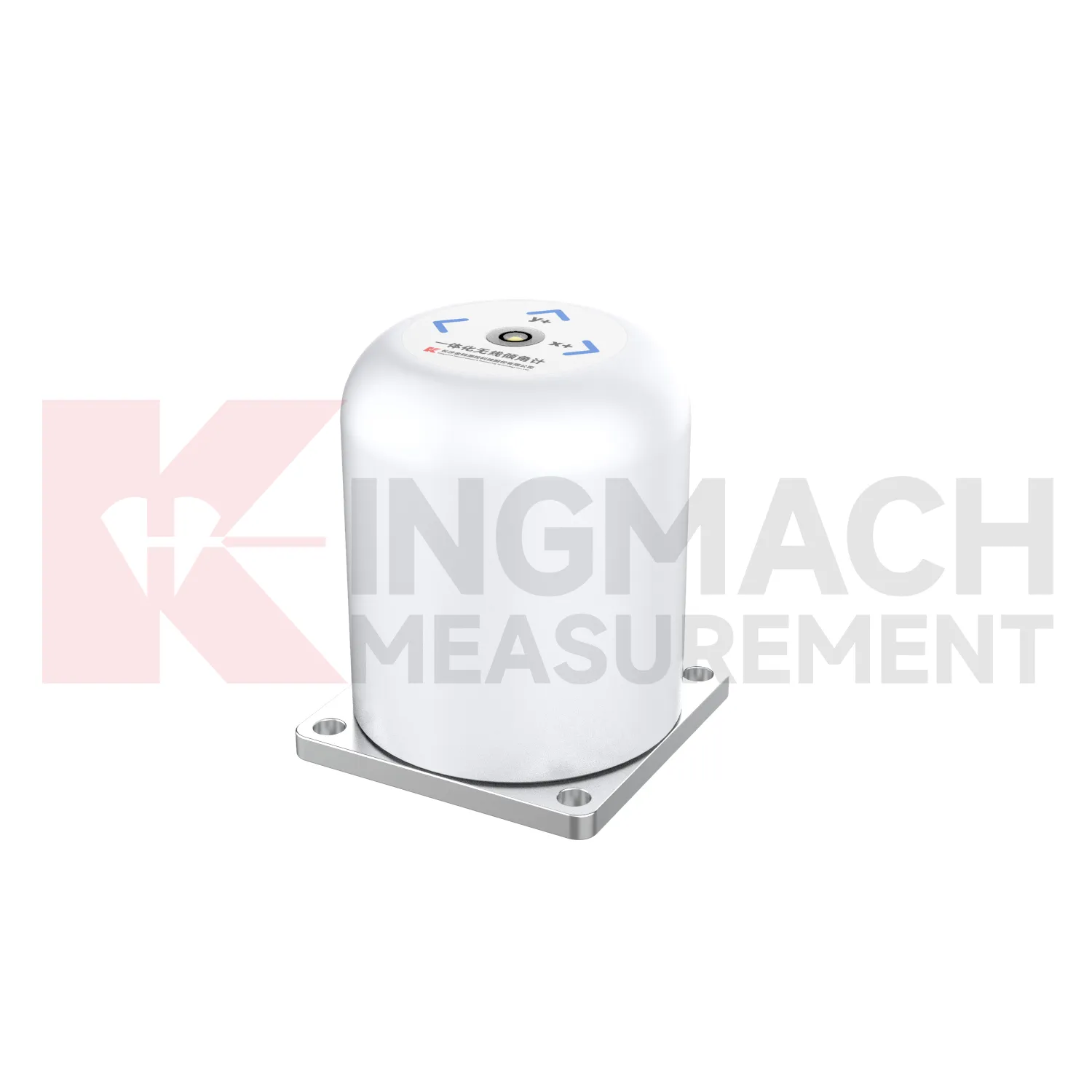
Wind tower and tall-structure monitoring can use Inclinometer to observe small angular changes caused by wind loading, foundation behavior, equipment operation, or nearby ground movement. An integrated JMQJ-7315RTU can be useful where wireless 4G reporting reduces long cable runs, while a wired JMQJ-7315ADS fits sites with existing acquisition cabinets. Tilt data should be reviewed with wind speed, vibration, foundation settlement, strain, and maintenance events. The axis direction must be aligned with the structure geometry so the data has engineering meaning. Battery condition, antenna signal, enclosure protection, and mounting bolt tightness are part of long-term reliability. For tall structures, even a small mounting error can create confusion, so baseline verification after installation is essential.
The future of Inclinometer
Multi-point borehole monitoring will continue to expand the role of Inclinometer. JMQJ-7915ATS already connects multiple in-place inclinometer sensors through a single cable, with grouped communication, universal joints, connecting rods, electronic identifiers, and an orifice acquisition module. This type of system turns a borehole into a depth-based deformation profile rather than a single surface observation. Future improvements will likely focus on easier factory configuration, clearer point identification, lower power operation, and faster data review. Slopes, foundation pits, dams, embankments, and underground projects benefit from knowing where movement is happening inside the ground. Depth-specific tilt data can help teams move from general warnings to targeted inspection and reinforcement planning.
Care & Maintenance of Inclinometer
Cable and communication care is essential for Inclinometer. JMQJ-7315ADS uses RS485 digital output, JMQJ-7315RTU uses wireless 4G transmission, JMZX-7100L uses Bluetooth for field reading, and JMZX-4QH supports RS485 uplink communication. Each path has different maintenance needs. Wired systems need cable protection, terminal checks, address records, grounding review, and cabinet sealing. Wireless units need antenna checks, signal review, upload status, and battery records. Bluetooth field instruments need reading-device pairing and data download discipline. When a channel drops out, inspect power, communication settings, connectors, and recent site work before replacing the sensor. A communication fault should not be mistaken for a real tilt event.
Kingmach Inclinometer
A well planned Kingmach Inclinometer installation starts with the engineering question, not with the sensor model. Is the project checking bridge pier rotation, building tilt, retaining wall movement, slope depth deformation, railway foundation behavior, or underground construction response? The answer determines whether a fixed biaxial tiltmeter, wireless integrated unit, sliding inclinometer, vertical in-place string, or acquisition module is required. It also determines where the reference direction should be marked, how often readings are taken, and what warning level means. Product parameters such as +/-15 degrees, +/-30 degrees, +/-90 degrees, 0.001 degree resolution, RS485, 4G, Bluetooth, IP68, IP67, and operating temperature should be linked to that project question. Clear planning keeps tilt monitoring useful throughout installation, commissioning, operation, and later review.
FAQ
Q: What are Inclinometer used for?
A: They measure angular change or internal deformation in bridges, buildings, railways, slopes, dams, foundation pits, tunnels, and other structures where tilt or deep movement must be monitored.Q: Which Kingmach model is used for fixed structural tilt?
A: JMQJ-7315ADS is a fixed MEMS tiltmeter with +/-15 degree dual-axis range, 0.001 degree resolution, RS485 output, and IP68 protection.Q: When is JMQJ-7315RTU useful?
A: It is useful when wireless remote monitoring is needed because it combines MEMS tilt sensing, 4G digital output, and battery power.Q: What does JMQJ-7915ATS measure?
A: It measures multi-point inclination inside a borehole using a vertical in-place inclinometer string and an orifice acquisition module.Q: Can tilt data be used with other sensors?
A: Yes. It is often reviewed with settlement, displacement, strain, load, water level, rainfall, vibration, and inspection records.
Reviews
Robert Taylor
The weir flow meter is well-built and delivers accurate measurements. Great value for water management applications.
David Wilson
We purchased displacement transducers and settlement sensors, and the quality exceeded our expectations. Easy installation and reliable performance.
Latest Inquiries
To protect the privacy of our buyers, only public service email domains like Gmail, Yahoo, and MSN will be displayed. Additionally, only a limited portion of the inquiry content will be shown.
Amelia***@gmail.comSingapore
Hello, I am looking for visualization software for monitoring system data analysis. Please let me kn...
Isabella***@gmail.comGermany
Hello, we are evaluating weir flow meters for a water management project. Please share accuracy deta...