
 EN
EN
 ar
ar bg
bg hr
hr cs
cs da
da nl
nl fi
fi fr
fr de
de el
el hi
hi it
it ko
ko no
no pl
pl pt
pt ro
ro ru
ru es
es sv
sv tl
tl iw
iw id
id lv
lv lt
lt sr
sr sk
sk sl
sl uk
uk vi
vi et
et hu
hu th
th tr
tr fa
fa ms
ms hy
hy ka
ka ur
ur bn
bn mn
mn ta
ta kk
kk uz
uz ku
ku
wireless tiltmeters
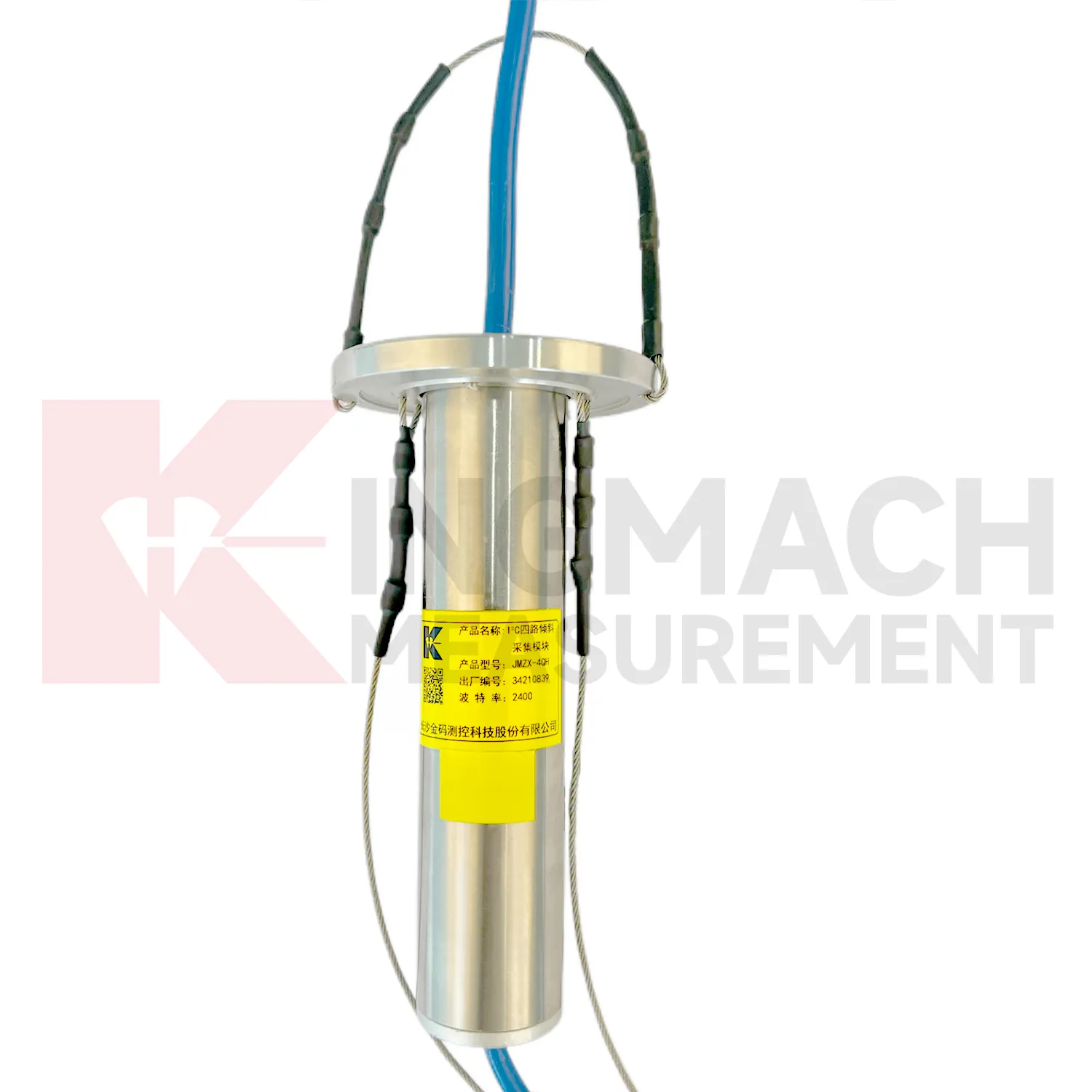
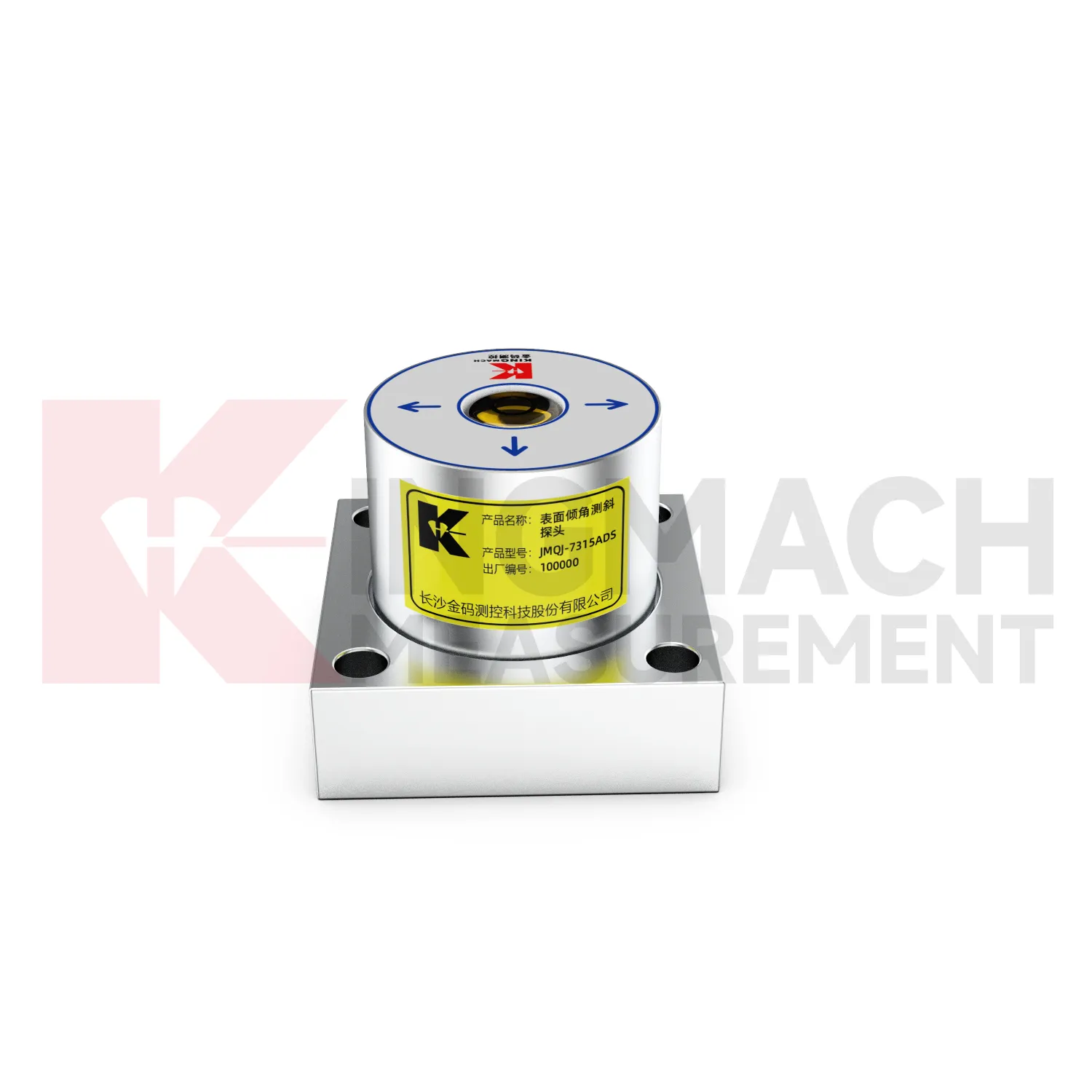
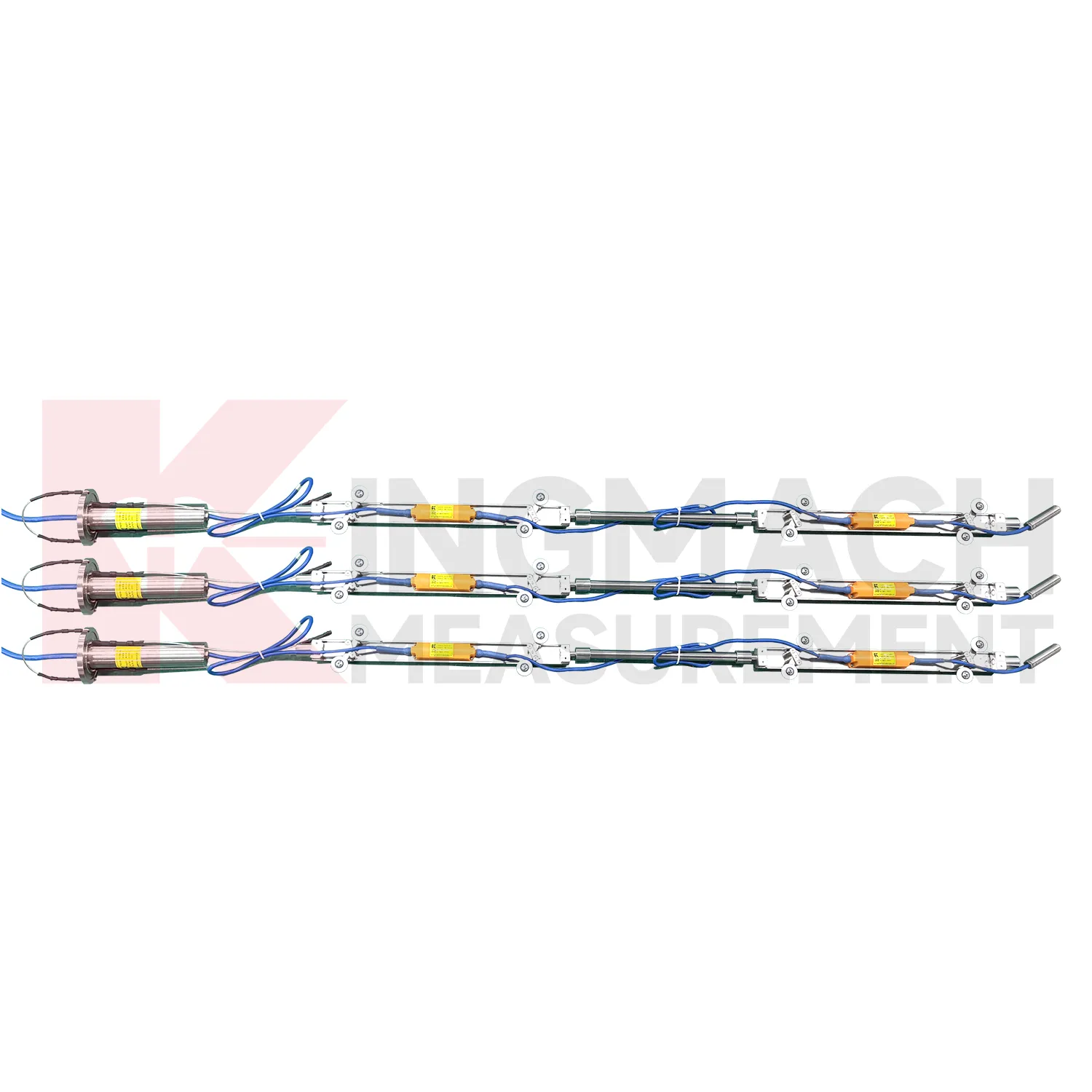
Kingmach wireless tiltmeters use different communication paths for different field needs. JMQJ-7315ADS uses RS485 digital output and works well in wired automated systems. JMQJ-7315RTU uses wireless 4G digital output and is better suited to sites where cables are difficult to run or where remote unattended measurement is expected. JMZX-7100L uses Bluetooth for mobile field reading and can store large amounts of inclinometer data for later analysis. JMQJ-7915ATS and JMZX-4QH support downhole multi-point data collection through grouped communication and acquisition modules. Communication planning should define cable route, antenna position, cabinet protection, baud rate, channel address, sampling interval, power mode, and fallback manual check method. The communication method is part of measurement quality because lost data, wrong channel names, or unstable power can confuse the tilt trend.
Application of wireless tiltmeters
Tunnel projects use wireless tiltmeters to observe lining deformation, invert response, station box movement, shaft walls, and surrounding ground behavior. Fixed tiltmeters can be installed on structural surfaces, while in-place inclinometer systems can measure internal movement near excavation zones or adjacent slopes. JMQJ-7315ADS has IP68 protection and RS485 output, making it suitable for wet underground environments when the cable route and cabinet are protected. JMQJ-7315RTU may be useful where wireless transmission is practical. Data review should include excavation stage, support closure, groundwater, vibration, train operation, displacement readings, and crack records. The installation file should show chainage, ring number, side, axis direction, and photographs because many tunnel points look similar after construction finishes.
The future of wireless tiltmeters
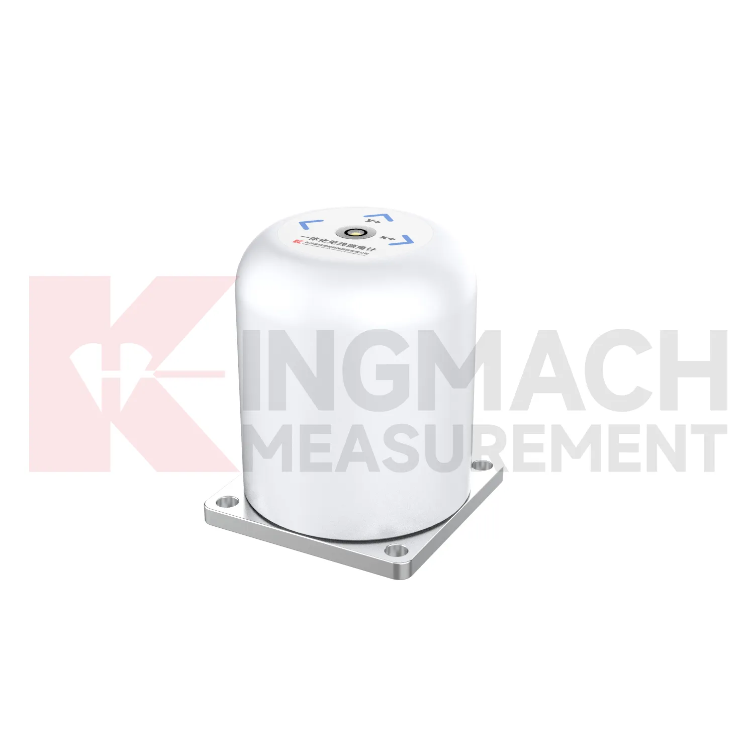
Future wireless tiltmeters will be reviewed more often with environmental and construction context. Tilt readings can change with rainfall, groundwater, temperature, excavation, traffic, wind, reservoir level, vibration, and loading. A platform that displays tilt beside these conditions can help engineers separate a temporary response from continuing deformation. Kingmach product categories include environmental monitoring, displacement sensors, settlement sensors, acquisition hardware, and visualization software, giving tilt data a natural place in a broader monitoring record. Future reporting should make relationships visible without hiding the raw angle data. When a curve changes, the engineer should be able to see nearby site events, related instruments, and inspection notes in the same review path.
Care & Maintenance of wireless tiltmeters
Waterproofing maintenance protects wireless tiltmeters in tunnels, slopes, dams, foundation pits, and outdoor structures. JMQJ-7315ADS lists IP68 protection, JMQJ-7315RTU lists IP65, JMQJ-7915ATS lists IP68, and JMZX-4QH lists IP67. These ratings help, but glands, connectors, cabinets, tube orifices, and field splices still need inspection after rain, flooding, dewatering, or washdown. Look for moisture inside enclosures, damaged seals, corrosion, loose plugs, and cable jacket cuts. For borehole systems, keep the orifice module protected from mud and site traffic. Record waterproof checks with date, weather, fault, repair action, and next reading. That record helps engineers separate true angular change from water-related data disturbance.
Kingmach wireless tiltmeters
Kingmach wireless tiltmeters help turn difficult-to-observe deformation into repeatable engineering evidence. Hidden parts of structures are often the hardest to judge: deep soil, buried retaining systems, bridge substructures, railway bases, foundation pit walls, and underground construction zones. Tilt measurement gives engineers a way to see angular change before visible damage becomes obvious. The product category is used in bridges, tunnels, slopes, buildings, foundation pits, geological hazard areas, railways, dams, embankments, port engineering, and other structural scenarios. The monitoring record should connect each sensor to a drawing location, axis label, baseline date, power source, communication path, and related construction activity. Without that context, even a precise angle may be hard to interpret. With it, tilt data can support timely inspection and measured engineering decisions.
FAQ
Q: How accurate is the JMQJ-7315ADS tiltmeter?
A: The product page lists 0.001 degree resolution and 0.01 degree accuracy for the +/-15 degree dual-axis model.Q: What protection grade does JMQJ-7315ADS have?
A: It is listed with IP68 waterproof protection and an operating environment from -30 degrees Celsius to +80 degrees Celsius.Q: What range does JMQJ-7315RTU provide?
A: The integrated wireless model lists +/-30 degree and +/-15 degree dual-axis range options, with 0.001 resolution.Q: How many sensors can JMZX-4QH support?
A: The module lists four channels and support for up to 100 sensors in a multi-point inclinometer system.Q: What is the guide wheel spacing for JMZX-7100L?
A: The sliding inclinometer page lists a 500 mm guide wheel spacing reference and a +/-90 degree sensor range.
Reviews
Joshua Clark
We ordered a full monitoring solution including sensors and data loggers. Everything works seamlessly together. Great supplier!
Matthew Garcia
Instrumentation cables are durable and perform well even in harsh environments. Will definitely order again.
Latest Inquiries
To protect the privacy of our buyers, only public service email domains like Gmail, Yahoo, and MSN will be displayed. Additionally, only a limited portion of the inquiry content will be shown.
Olivia***@gmail.comUnited States
Hello, we are currently sourcing high-precision strain gauges and load cells for a bridge monitoring...
Evelyn***@gmail.comSouth Africa
Hi, we are a contractor working on tunnel construction and need settlement sensors and displacement ...